The Ocean Was Their Highway And Nature Was Their Guide
Long before satellites, GPS, or even the invention of a compass, the Polynesians were crossing the vast Pacific Ocean with astonishing precision. They didn’t rely on charts or instruments. Instead, they used the sky, the sea, and instinct passed down through generations. And what they achieved remains one of the most incredible feats of exploration in human history.
Imagine navigating 1,000 islands spread across thousands of miles of open ocean without any tools besides your eyes, memory, and the rhythms of nature. That’s exactly what Polynesian voyagers did. They were among the greatest navigators the world has ever known.
Decoding the Secrets of the Sea
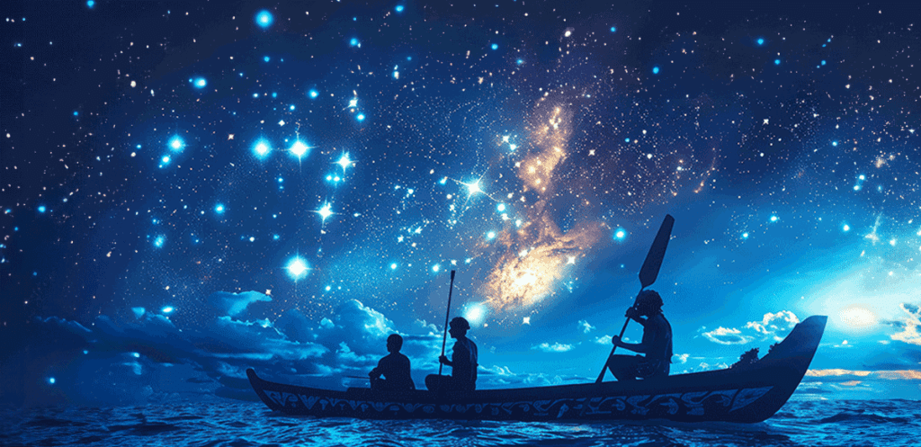
Polynesians developed a sophisticated understanding of their natural environment. They didn’t just look at the stars they read them like a map. Every star that rose and set on the horizon helped tell them where they were and which direction they were heading.
Video: How did Polynesian wayfinders navigate the Pacific Ocean? – Alan Tamayose and Shantell De Silva
But stars weren’t their only tool. These master navigators also observed:
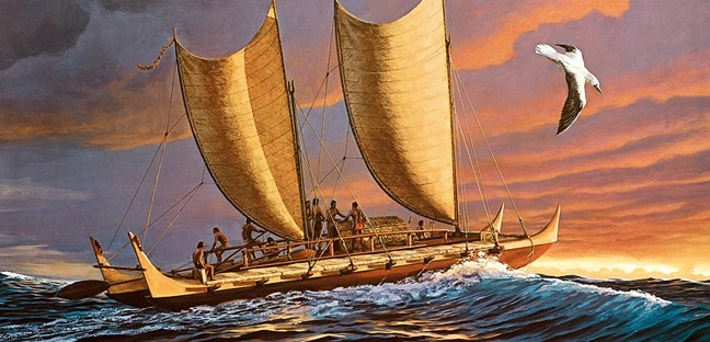
- Ocean swells: By feeling the direction and frequency of wave patterns against their boats, they could tell where land was even before they saw it.
- Bird flight: Certain seabirds only fly out a specific distance from land. If a bird flew out in the morning and returned in the evening, navigators knew there was land in that direction.
- Cloud formations: Some cloud types tend to form above islands, and experienced voyagers learned to spot these from dozens of miles away.
- Water color: Even subtle changes in the hue of ocean water hinted at nearby reefs or shallow landmasses.
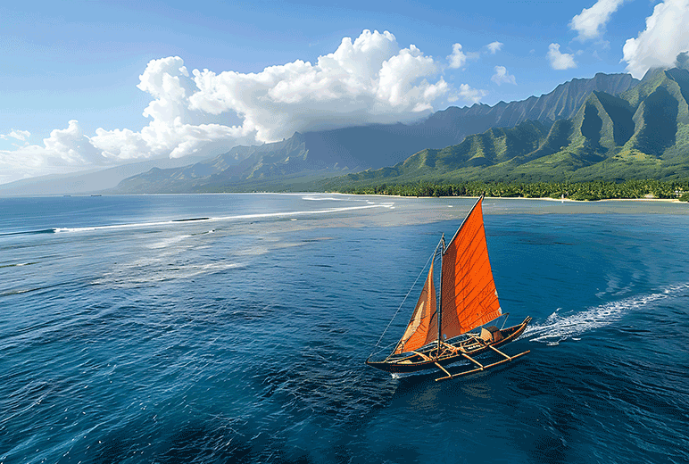
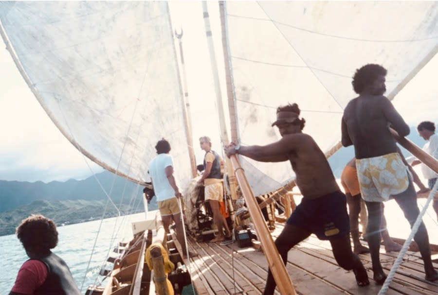
This combination of sensory cues allowed them to travel across thousands of miles of open sea—often in double-hulled canoes that were far more seaworthy than European explorers initially gave them credit for.
1,000 Islands. No Compass. Just Nature.
Over centuries, Polynesian navigators expanded across a region spanning more than 10 million square miles. From Hawaii in the north, to Easter Island in the east, and New Zealand in the south, their voyages formed what is often called the Polynesian Triangle.
They didn’t stumble onto these islands by accident. Each settlement was the result of careful planning, exploration, and navigation. And with no written language or digital records, their knowledge was passed on orally through chants, stories, and memorized navigation charts made of sticks and shells.
Modern Science Catches Up
For a long time, scholars doubted that Polynesians could have purposefully discovered and colonized such far-flung islands without advanced tools. But now, science is catching up to what Polynesians have always known.
Video: From Hawaii to New Zealand: How The Polynesians Navigated
Modern experiments, like those conducted with the voyaging canoe Hōkūleʻa, have confirmed that traditional Polynesian wayfinding techniques are not only valid they’re incredibly accurate. Hōkūleʻa has traveled over 40,000 nautical miles around the globe using only traditional navigation methods.
Oceanographers and anthropologists have also found strong evidence that Polynesian sailors reached the Americas long before Columbus. Genetic and archaeological discoveries suggest contact between Polynesians and Indigenous South American populations centuries before Europeans crossed the Atlantic.
Legacy of a Seafaring Civilization
Today, the legacy of Polynesian wayfinders is more than just historical it’s cultural, spiritual, and deeply inspiring. It’s about understanding our relationship with the Earth and sea, and trusting in human intuition and observation.
In many Pacific communities, traditional navigation is being revived and taught once again to new generations. These modern wayfinders are preserving a rich legacy one that proves the intelligence, courage, and resilience of their ancestors.
Their story reminds us that exploration isn’t always about what you can see sometimes, it’s about what you can sense.
Conclusion: Rediscovering Ancient Wisdom
As modern technology continues to advance, there’s something profoundly humbling about the idea that people, centuries ago, could cross entire oceans using nothing but nature and knowledge passed through storytelling. The Polynesians didn’t need maps or machines they had the stars above, the ocean below, and a deep understanding of both.
In rediscovering their traditions, we’re not just learning about navigation we’re reconnecting with a mindset that values harmony with nature, confidence in intuition, and the power of human legacy.